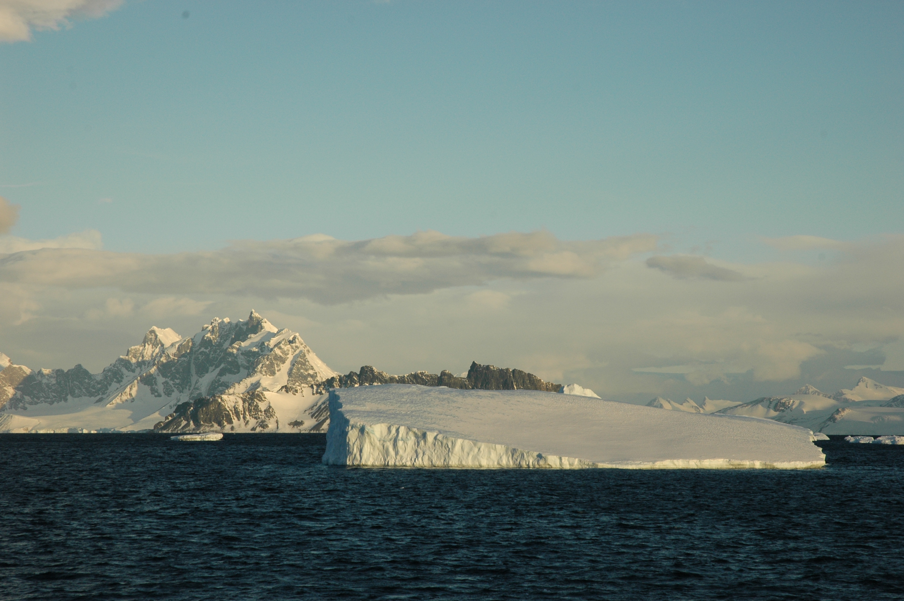
 Ice sheets currently contribute approximately one third of global sea level rise. In recent years, the rate of mass loss from these bodies of ice has increased, as a consequence of enhanced warming of the atmosphere and ocean surrounding the Greenland Ice Sheet, and of ocean-driven melting of marine-based sectors of Antarctica. Despite the global impact that these changes may make, significant challenges remain in developing process-based projections of future sea level contributions from these ice masses. In particular, the timescales over which ice sheets may evolve is poorly constrained, despite satellite observations identifying the possible onset of unstable ice sheet retreat in some regions. Against this backdrop, it is important that Earth orbiting satellites continue to systemically monitor Earth’s Polar Regions, both to provide near real time monitoring of ongoing changes and to deliver the multi-decadal record of ice sheet evolution required to develop realistic model projections into the future. These objectives demand the development and optimisation of robust processing methodologies, the continual assessment of data integrity, and the detailed characterisation of uncertainties associated with the retrieved geophysical parameters. This is particularly true when novel instruments or technology is deployed for the first time.